Index
Previous picture
British Geological Survey's ariel photo
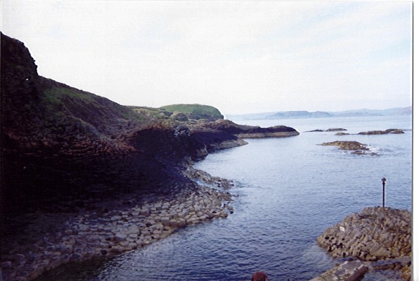
East side of the Island
This is taken back at the landing stage facing NE towards Ulva, which appears in the background. The highwater mark (black above it; clean rock below it) is very clear, as are some of the navigation dangers. Note that the rocks in the top right, are all covered at high-water. There are similar rocks just below the surface all over the place. The stake in the rock at the bottom left is there so that that particular rock is marked (and can be avoided) at high tide.

Index
Previous picture
British Geological Survey's ariel photo
This photograph is the copyright of
Ian Miller. All rights reserved.
